Multi-County Thunderstorm System Affects Central Texas - August 12, 2025
A widespread thunderstorm system impacted multiple counties across Central Texas on August 12, 2025, with two main storm cells affecting different regions between 4:12 PM and 5:15 PM CDT. The National Weather Service issued multiple Special Weather Statements as the storm system moved through the area.
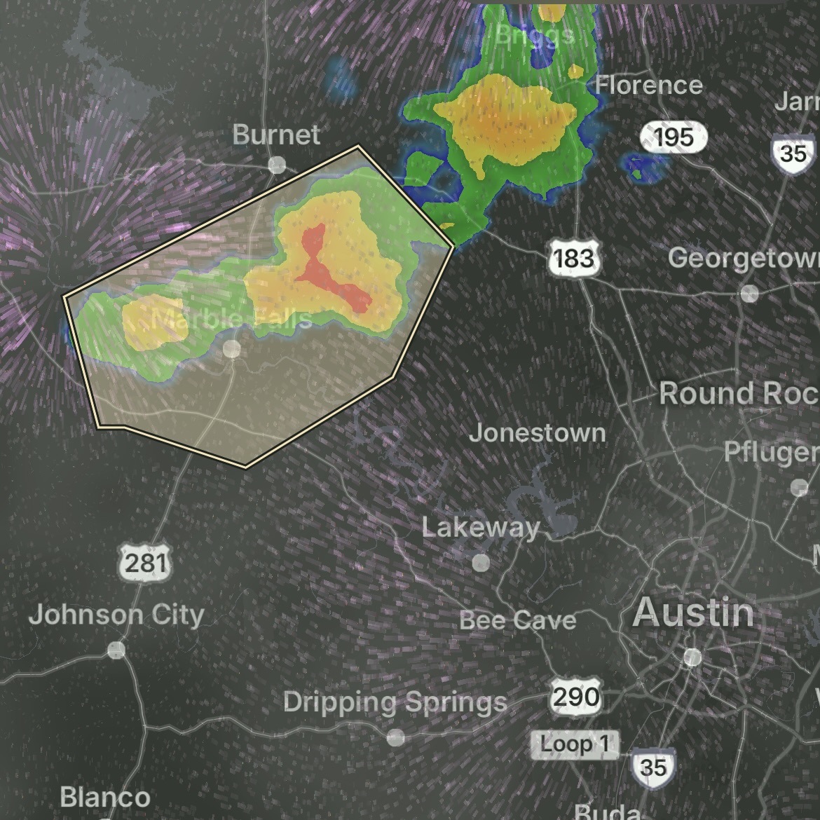
First Storm Cell - Cranfills Gap/Gatesville Area (4:27-5:15 PM CDT):
A strong thunderstorm impacted portions of east central Hamilton, north central Coryell, and southwestern Bosque Counties. The storm was tracked by Doppler radar 11 miles south of Cranfills Gap, or 12 miles north of Gatesville, moving east at 10 mph.
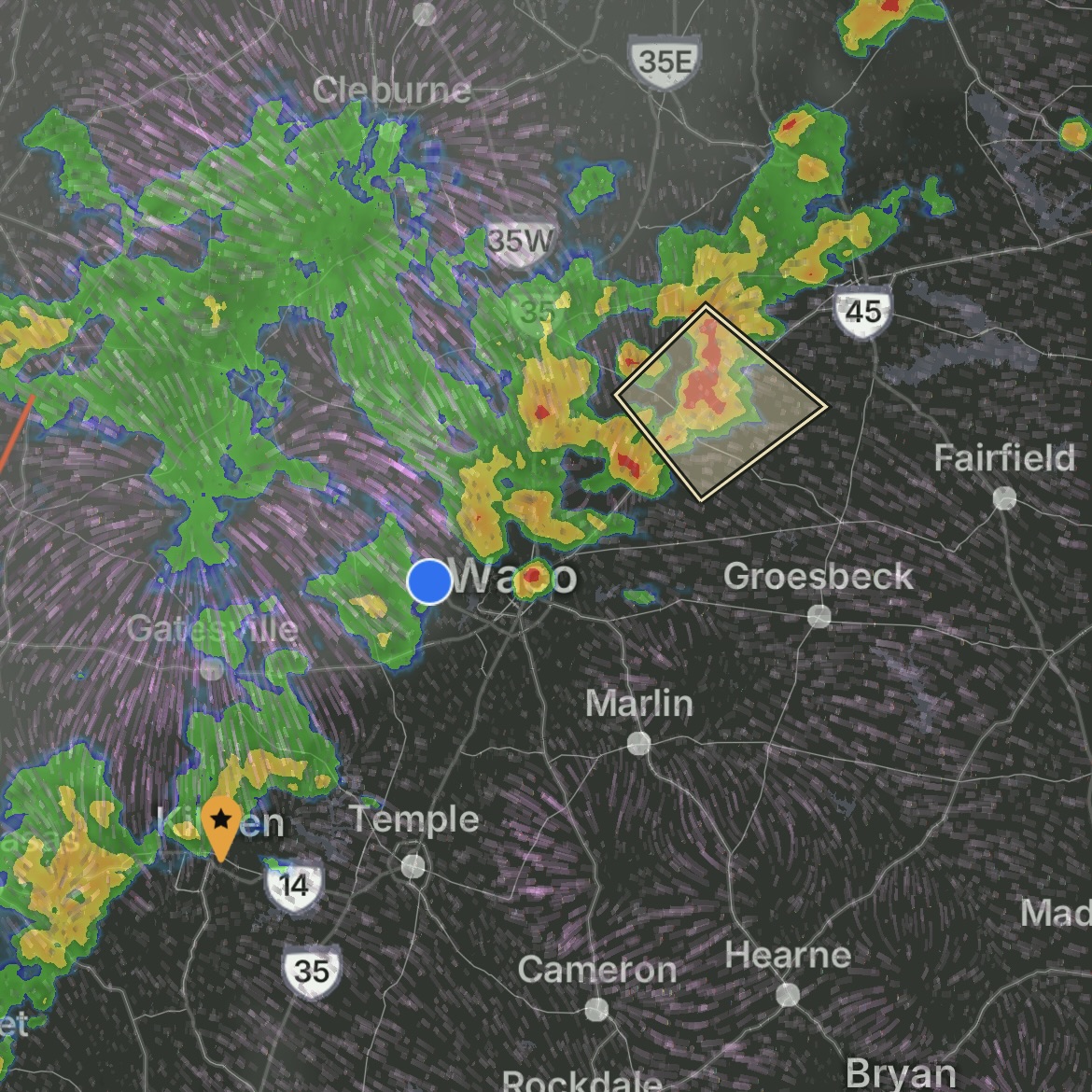
Second Storm Cell - Johnson/Somervell Area (4:14-5:00 PM CDT):
Strong thunderstorms affected portions of northeastern Somervell, Johnson, northeastern Bosque, and northwestern Hill Counties. The storm system was detected over parts of Johnson, Hill, Bosque, and Somervell counties moving southeast at 10 mph.
Weather Conditions:
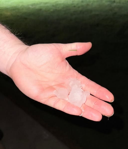
Both storm cells produced wind gusts up to 50 mph and pea-sized hail. While pea-sized hail typically causes minimal vehicle damage, the combination with strong winds can result in minor dents, paint chips, and potential windshield damage. The gusty winds also posed risks from falling tree limbs and flying debris.
Affected Counties:
• Hamilton County
• Coryell County
• Bosque County
• Somervell County
• Johnson County
• Hill County
Was your car exposed during this storm?
Hail damage isn't always visible to the untrained eye. Our certified technicians can identify damage that may not be immediately apparent.